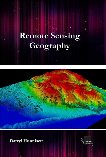
The book covers how to initiate a project, including determining the objective, choosing the right tools, and selecting imagery. Generally, Remote sensing refers to the activities of recording, observing, perceiving (sensing) objects or events at far away (remote) places. In remote sensing, the sensors are not in direct contact with the objects or events being observed. The information needs a physical carrier to travel from the object’s events to the sensors through an intervening medium. The electromagnetic radiation is normally used as an information carrier in remote sensing. The output of a remote sensing system is usually an image representing the scene being observed. A further step of image analysis and interpretation is required in order to extract useful information from the image. The human visual system is an example of a remote sensing system in this general sense. In a more restricted sense, remote sensing usually refers to the technology of acquiring information about the earth’s surface (land and ocean) and atmosphere using sensors onboard airborne (aircraft, balloons) or spaceborne (satellites, space shuttles) platforms. In satellite remote sensing of the earth, the sensors are looking through a layer of atmosphere separating the sensors from the Earth’s surface being observed. Hence, it is essential to understand the effects of atmosphere on the electromagnetic radiation travelling from the Earth to the sensor through the atmosphere. The atmospheric constituents cause wavelength dependent absorption and scattering of radiation. These effects degrade the quality of images. Some of the atmospheric effects can be corrected before the images are subjected to further analysis and interpretation. This book benefits all undergraduate and graduate students, researchers, university teachers and other remote sensing practitioners interested in the remote sensing geography.
Title : Remote Sensing Geography
- Author : Darryl Hunnisett
- ISBN : 9781995870274
- Binding : Paperback
- Price : $ 69.99
- Year : 2025
- Pages : 285
- Langauge : English
- Subject Category : Geography, Environment, Geology


